")
")

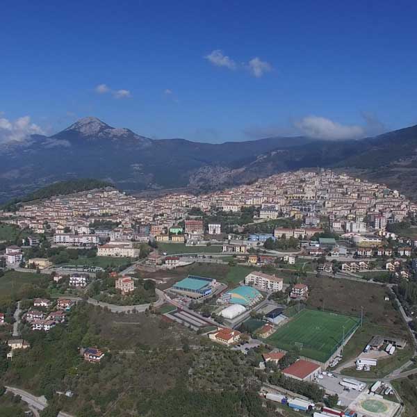
Viggiano, located along the western ridge of Alta Val d’Agri at an altitude of 1023 m asl, is a country strongly linked to its roots: the Marian cult and the double procession, every year, for the Black Virgin, from town to Holy Mountain and the other way around, the popular music tradition grew around the Viggianese harp craftsmanship, kept alive until today thanks to the School of Viggianese Popular Harp.
A territory with a great wealth of landscape


THE VIRGIN, THE HARP, THE MUSIC
Viggiano, located along the western ridge of Alta Val d’Agri at an altitude of 1023 m asl, is a country strongly linked to its roots: the Marian cult and the double procession, every year, for the Black Virgin, from town to Holy Mountain and the other way around, the popular music tradition grew around the Viggianese harp craftsmanship, kept alive until today thanks to the School of Viggianese Popular Harp.
A territory with a great wealth of landscape
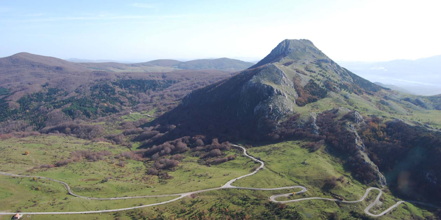
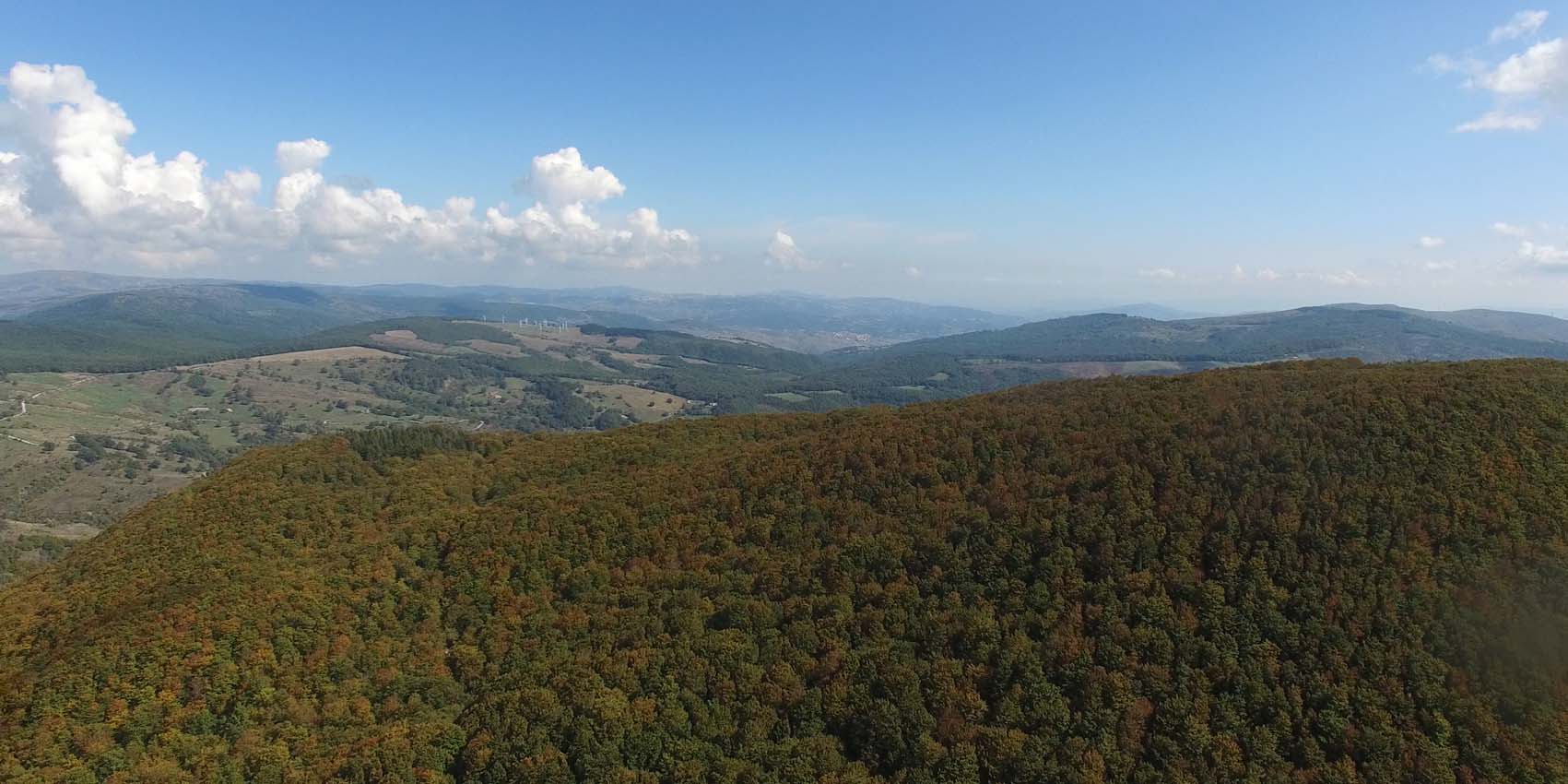
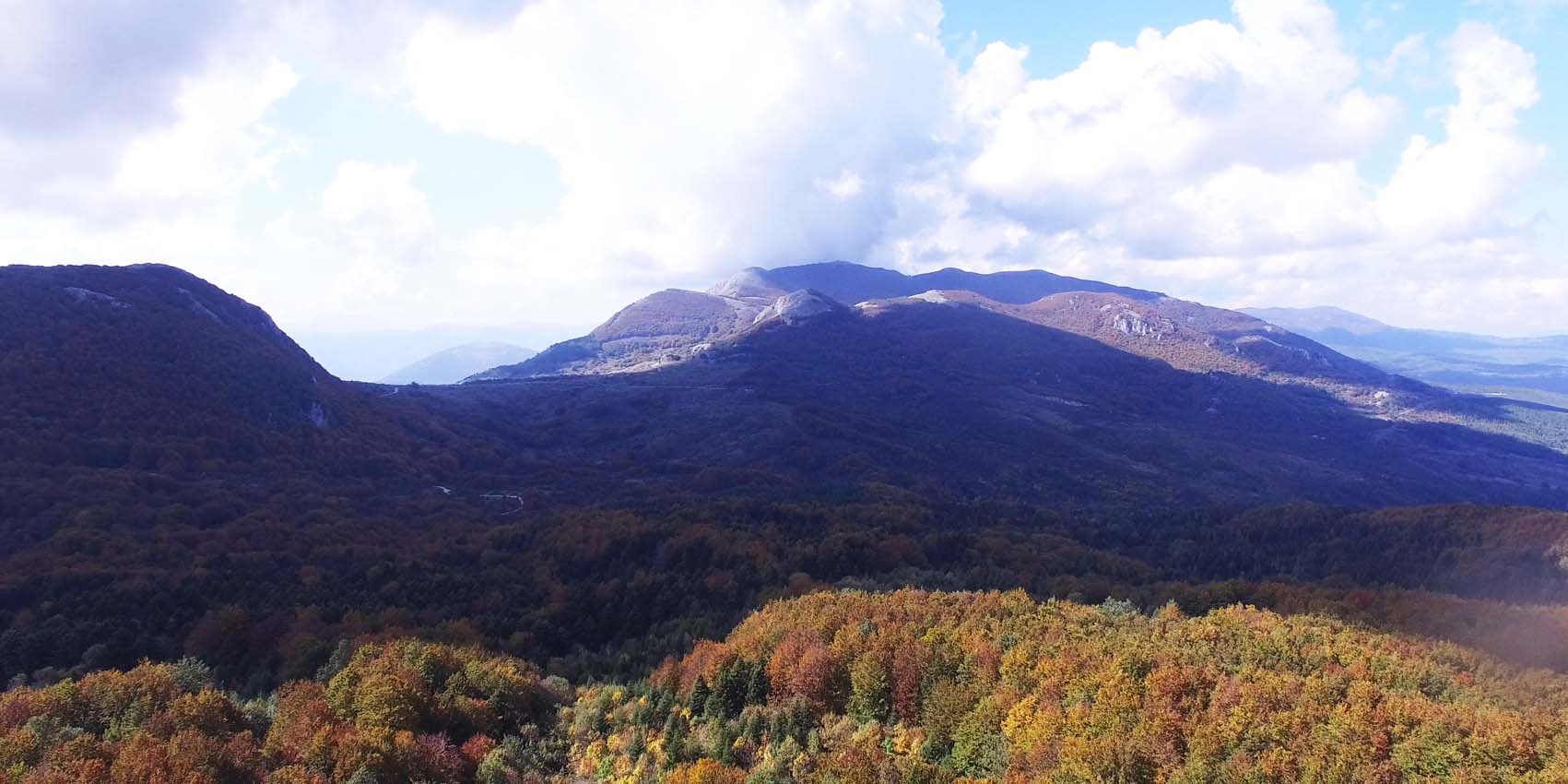
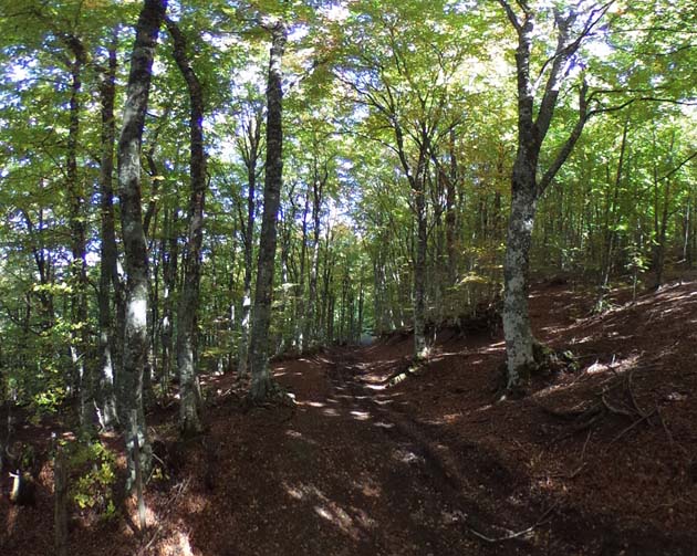
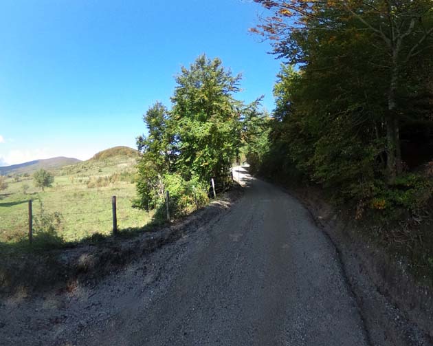
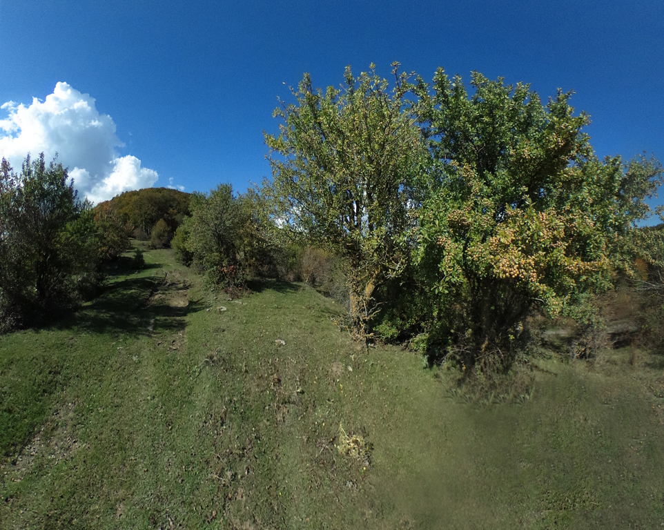
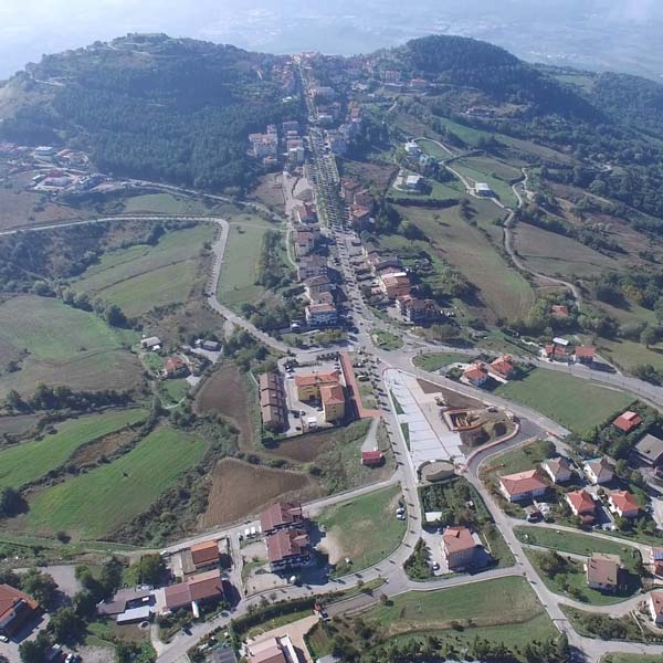
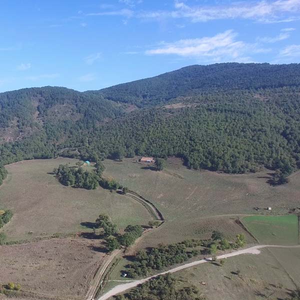
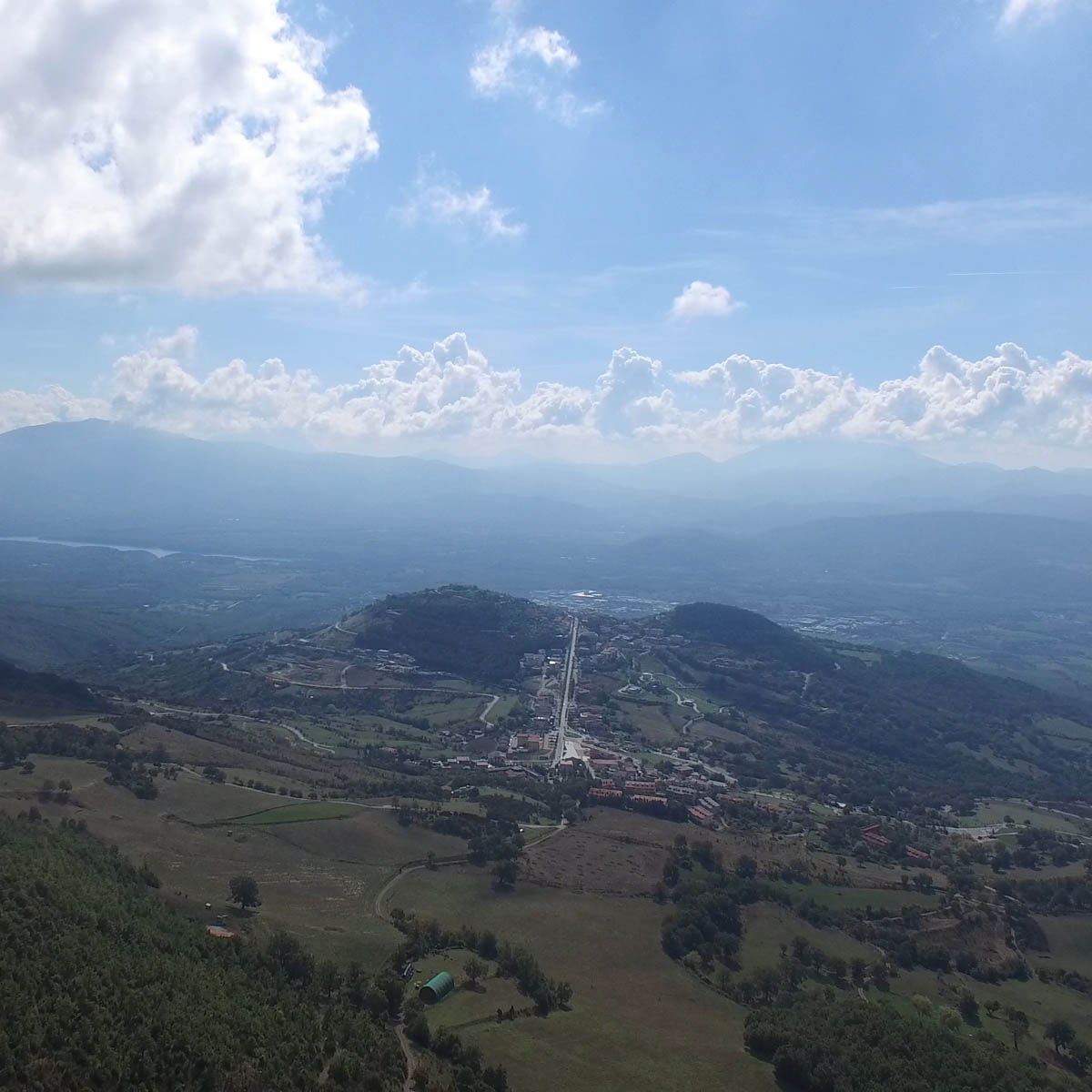
Part of the territory that extends around the town is included in the National Park “Appennino Lucano Val d'Agri-Lagonegrese” , in the IBA 141 Val d'Agri (Important Bird Areas) as well as in the two SCI areas (Site of Community Interest) "Monte della Madonna di Viggiano" and "Monte Caldarosa". These are the territories that cross the sacred and naturalistic itineraries of Viggiano, offering the hiker a great wealth of ecosystems and landscapes.


THE MARIAN CULT
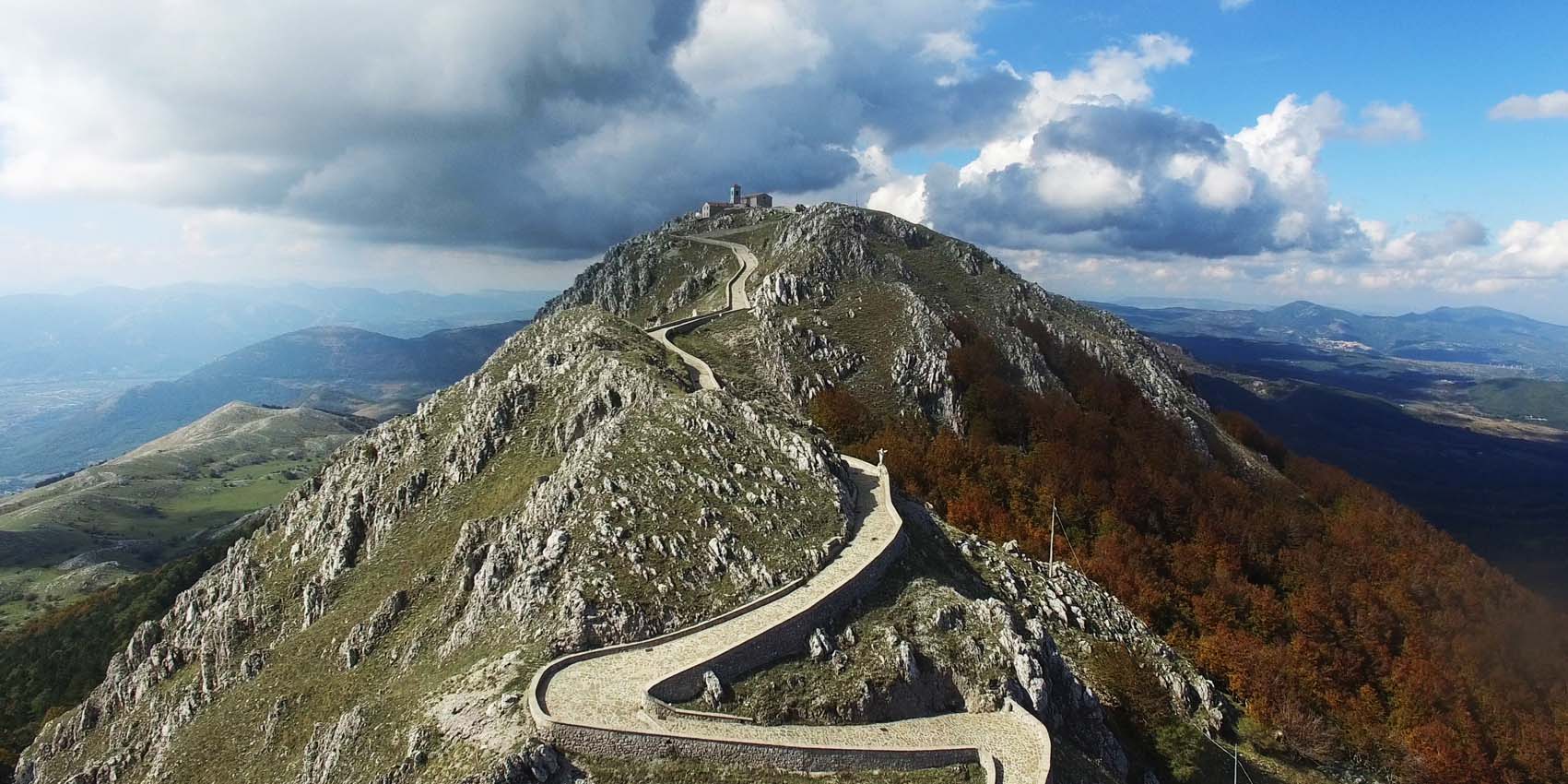
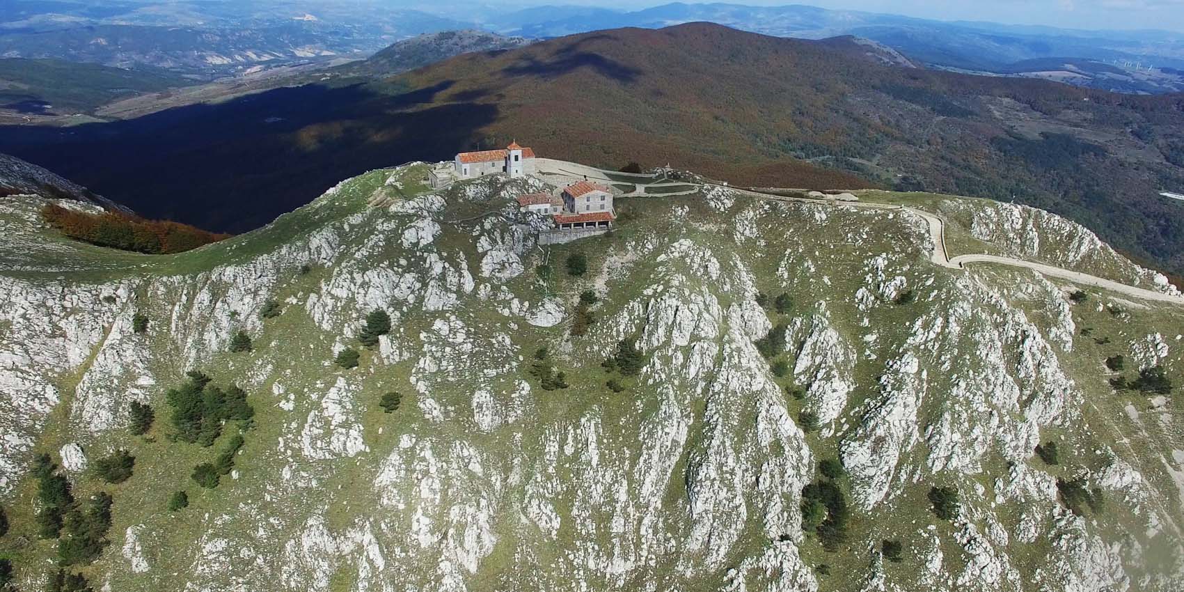
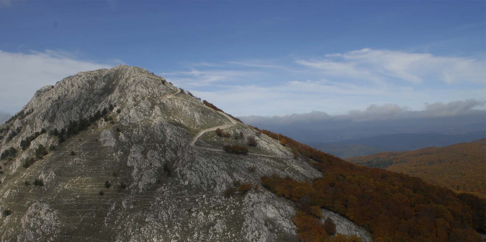
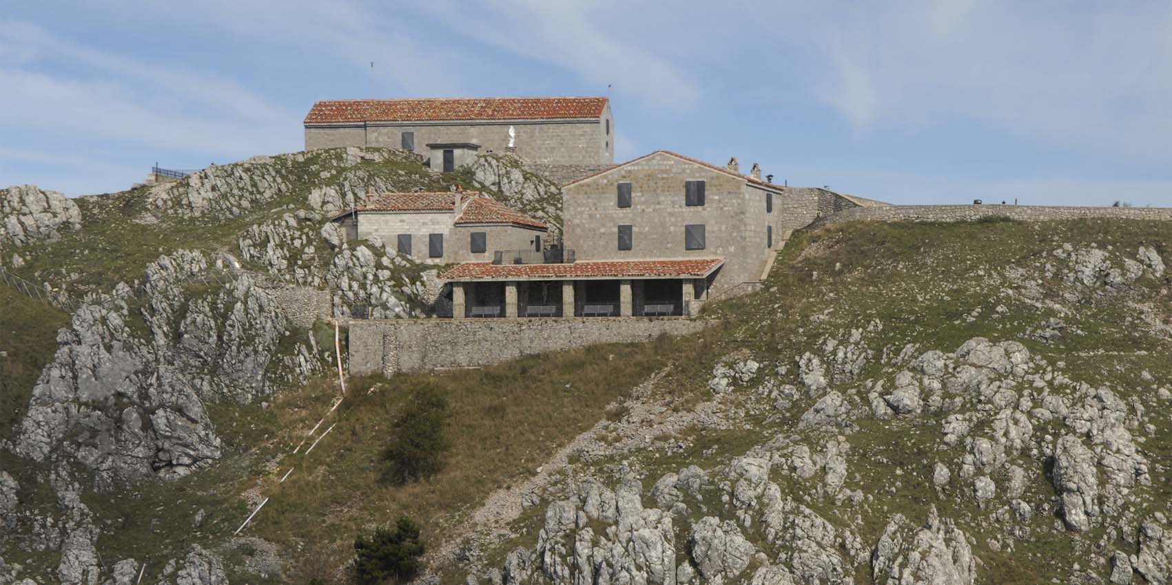
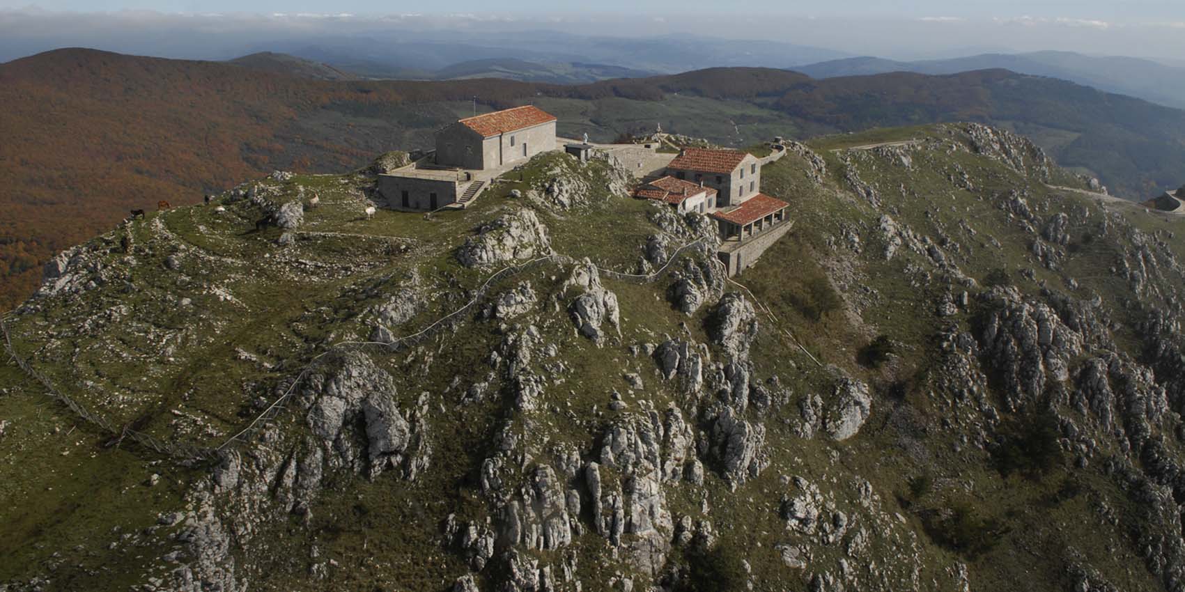
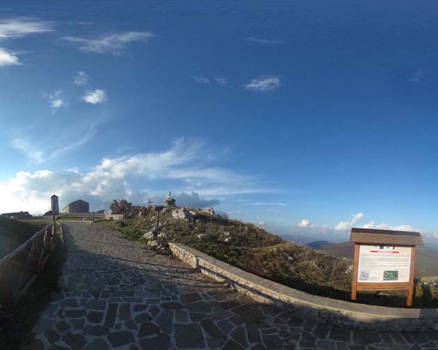
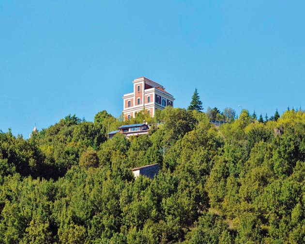
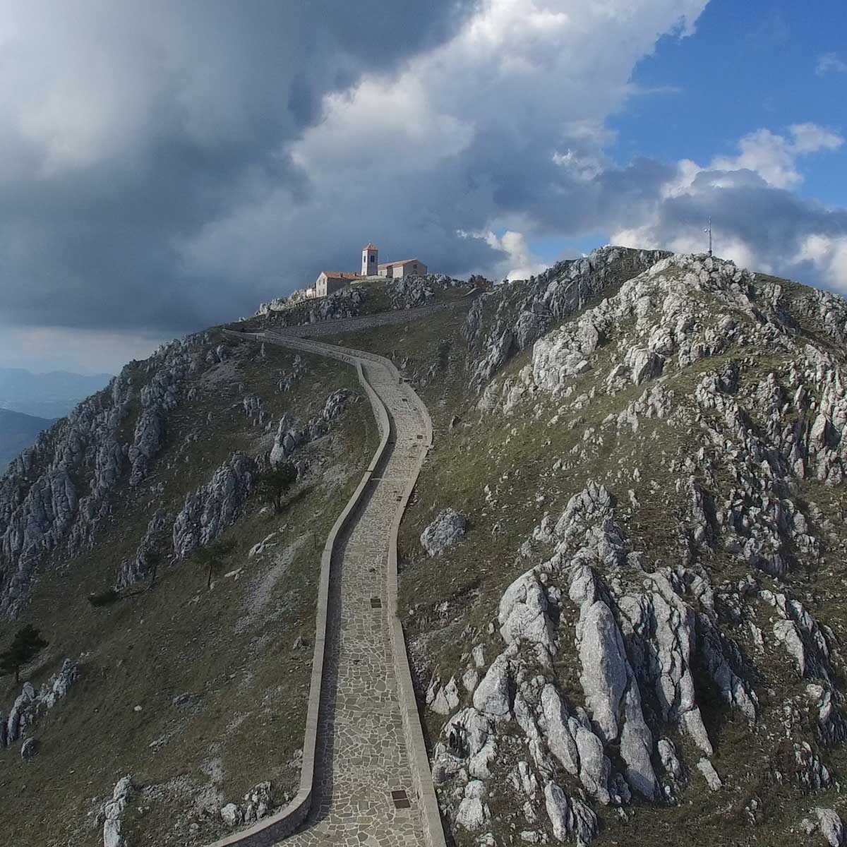
The origin of the Viggiano sanctuary dates back to the 11th century and is related to the fall of the ancient Grumentum. When the Saracens were about to reach the city, the statue of the Virgin was hidden on the summit of Monte di Viggiano. Here it remained for centuries, (while the inhabitants of the destroyed city formed their communities on the slopes of the surrounding mountains) until, according to the legend, some shepherds, intrigued by luminous phenomena observed on the top of the mountain, found the sacred statue, immediately transported to Viggiano and placed in the chapel of Santa Maria which later became the urban seat of the Sanctuary. Even the custom of transporting the statue of the Virgin from Viggiano to the mountain above derives by a miraculous phenomenon: the statue, at the end of the construction of the Chapel on the Mount, has been transported by an invisible force to Viggiano where the Mother Church was erected. But the following Sunday of May the Madonna rose and returned on the top of the mountain, as she would stay for a part of the year in the country and for a few months on the Sacro Monte. The pilgrimage is still carried out every year in two separate times. The first transport takes place on the first Sunday of May, with a solemn procession, which from the Basilica of Viggiano leads to the Sanctuary on the Sacro Monte, located about 12 km from the town. The second transport is on the first Sunday of September with a reverse route. Every year Viggiano welcomes thousands of believers, coming non only from neighboring countries honoring the Virgin with songs, dances, and preparation of candle and flowers belts.THE MARIAN CULT
The origin of the Viggiano sanctuary dates back to the 11th century and is related to the fall of the ancient Grumentum. When the Saracens were about to reach the city, the statue of the Virgin was hidden on the summit of Monte di Viggiano. Here it remained for centuries, (while the inhabitants of the destroyed city formed their communities on the slopes of the surrounding mountains) until, according to the legend, some shepherds, intrigued by luminous phenomena observed on the top of the mountain, found the sacred statue, immediately transported to Viggiano and placed in the chapel of Santa Maria which later became the urban seat of the Sanctuary. Even the custom of transporting the statue of the Virgin from Viggiano to the mountain above derives by a miraculous phenomenon: the statue, at the end of the construction of the Chapel on the Mount, has been transported by an invisible force to Viggiano where the Mother Church was erected. But the following Sunday of May the Madonna rose and returned on the top of the mountain, as she would stay for a part of the year in the country and for a few months on the Sacro Monte. The pilgrimage is still carried out every year in two separate times. The first transport takes place on the first Sunday of May, with a solemn procession, which from the Basilica of Viggiano leads to the Sanctuary on the Sacro Monte, located about 12 km from the town. The second transport is on the first Sunday of September with a reverse route. Every year Viggiano welcomes thousands of believers, coming non only from neighboring countries honoring the Virgin with songs, dances, and preparation of candle and flowers belts.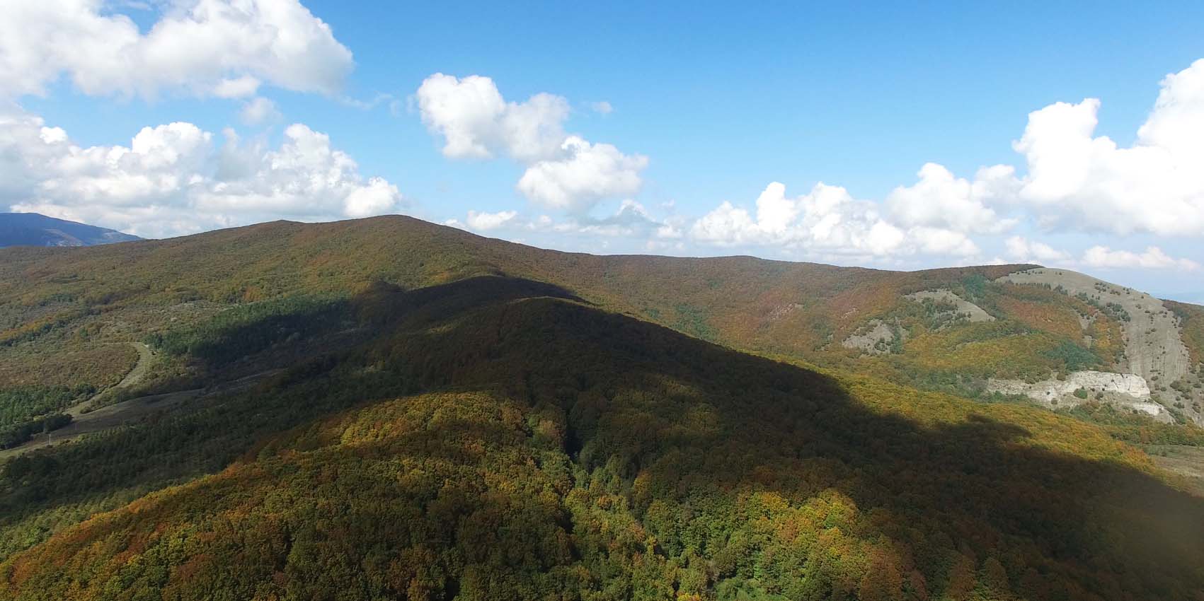

THE TERRITORY
THE TERRITORY
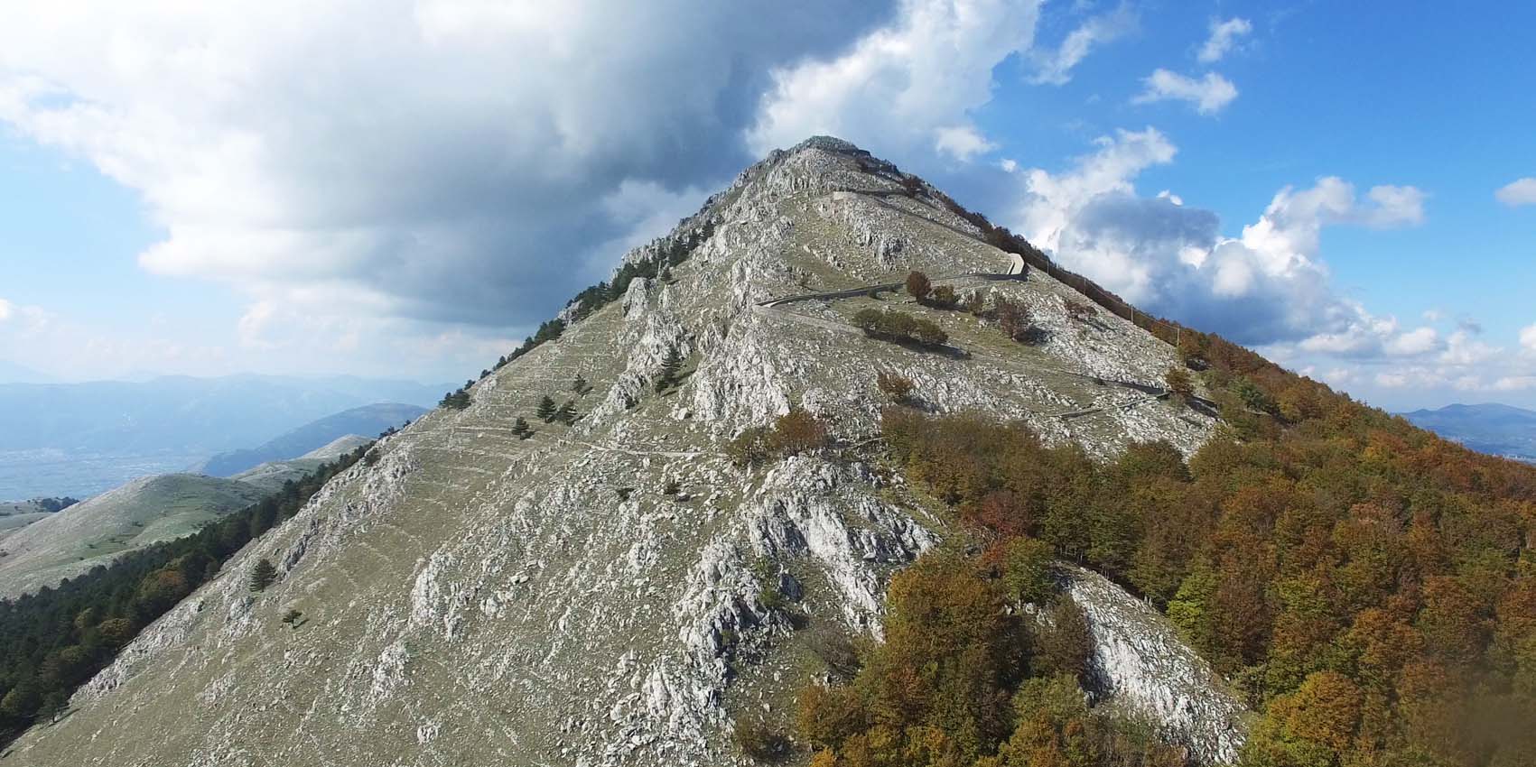
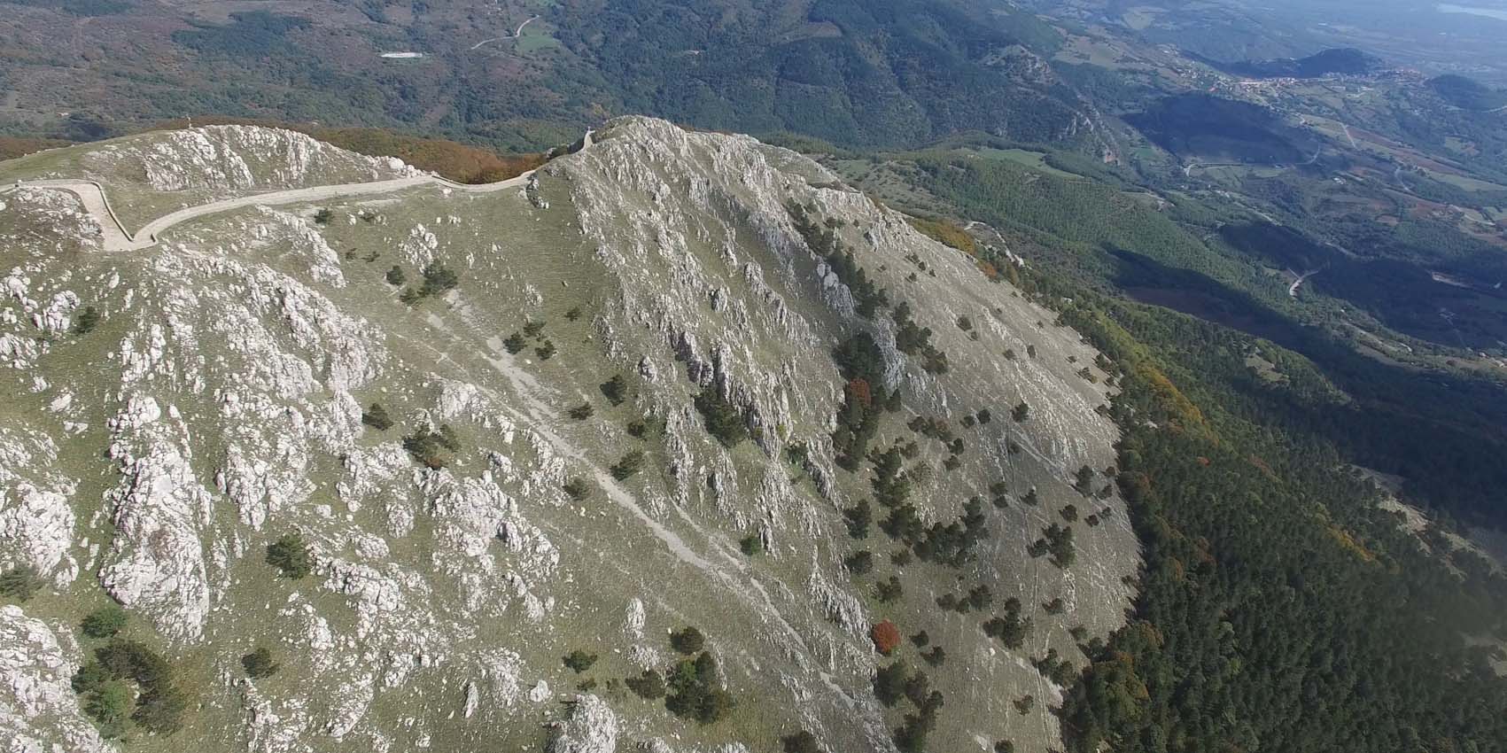
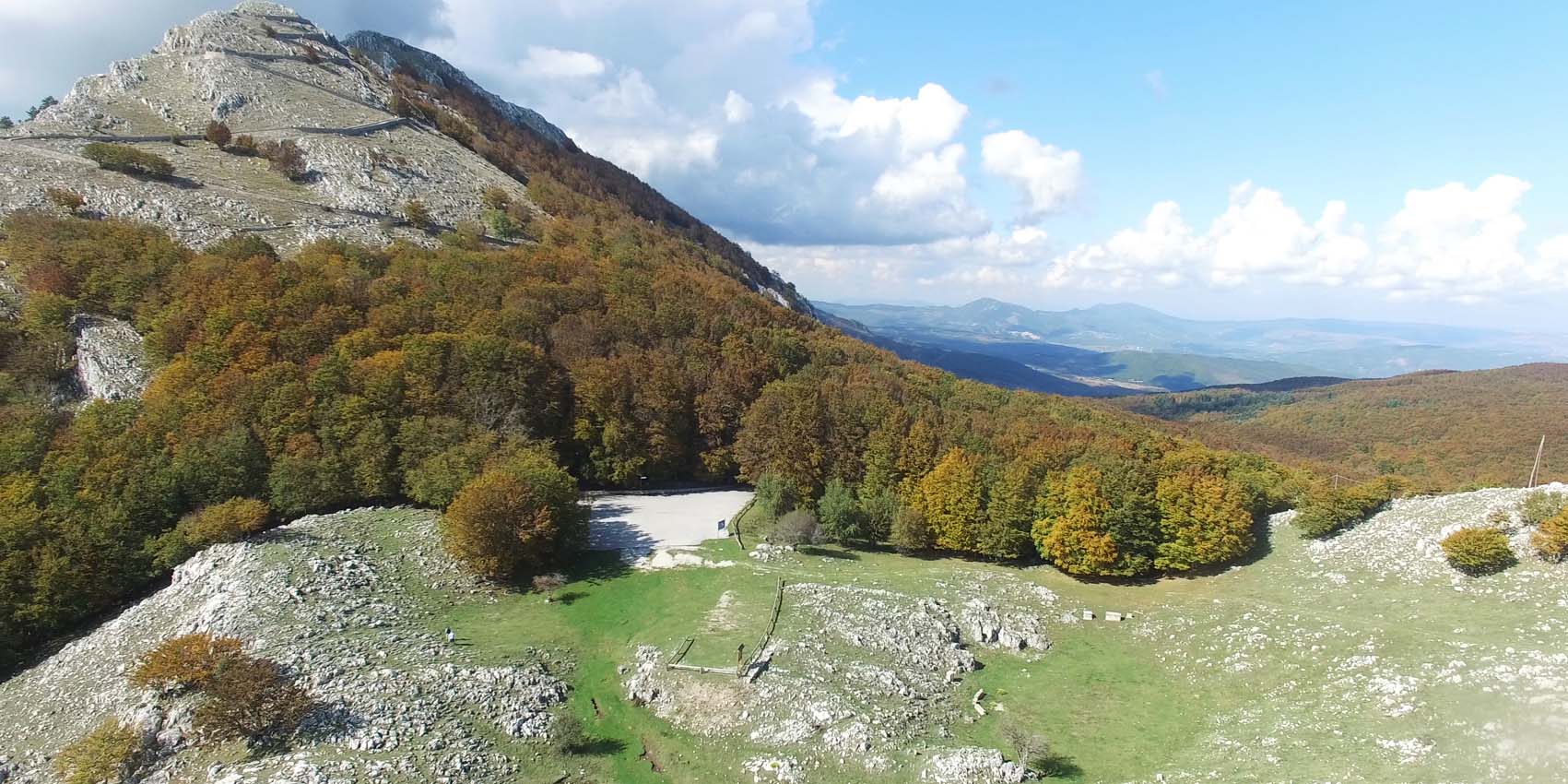
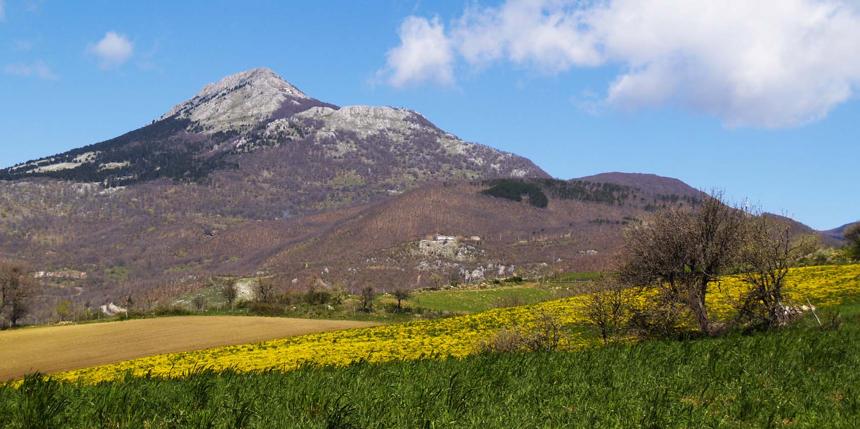
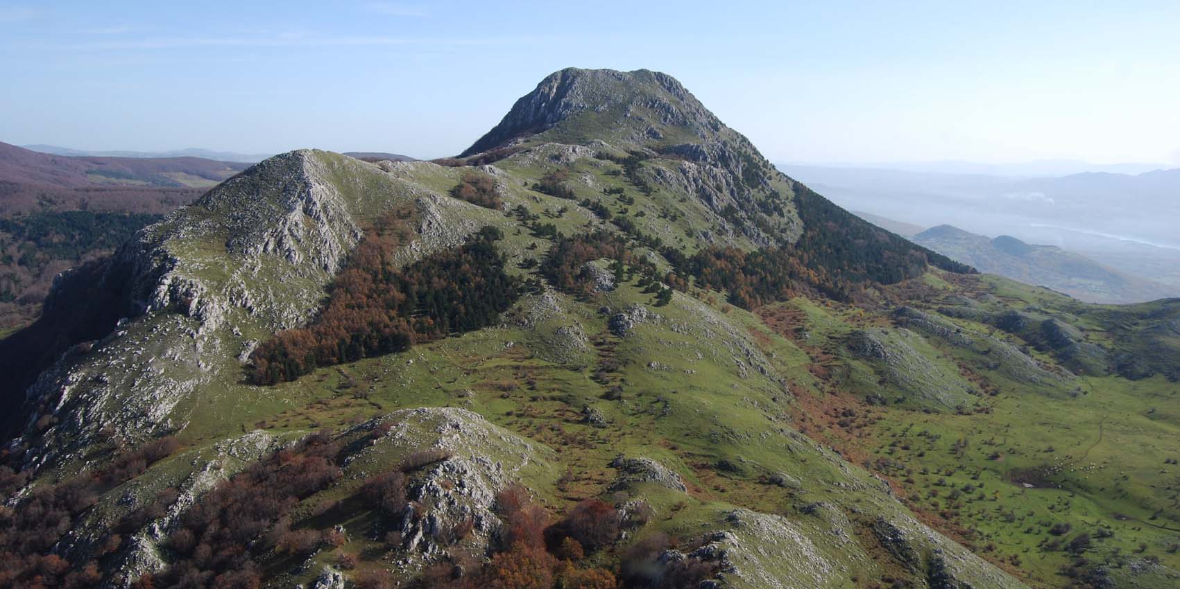
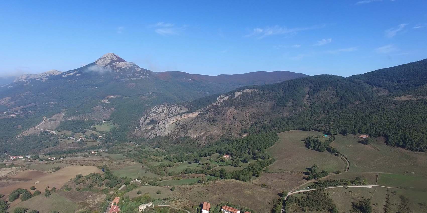
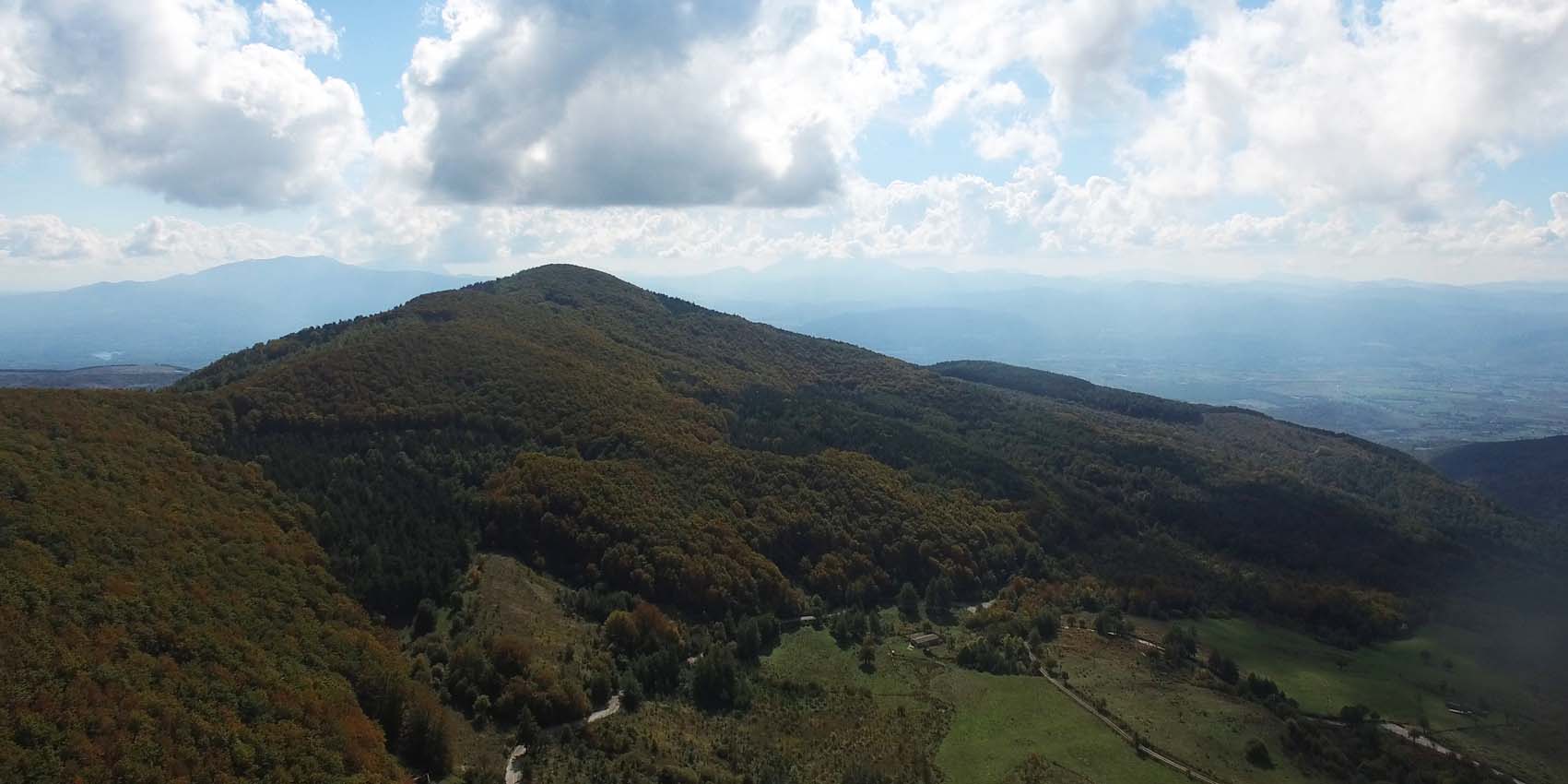
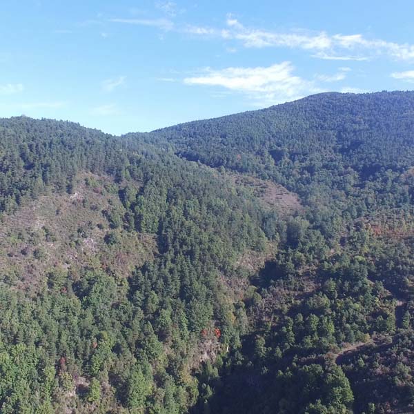
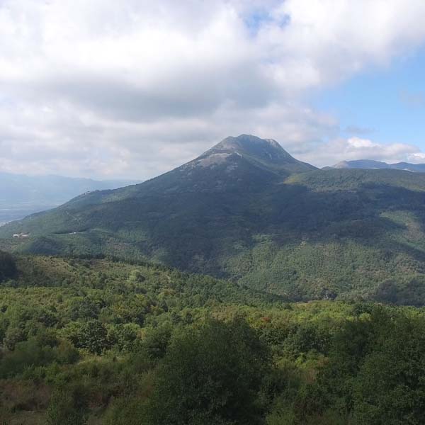
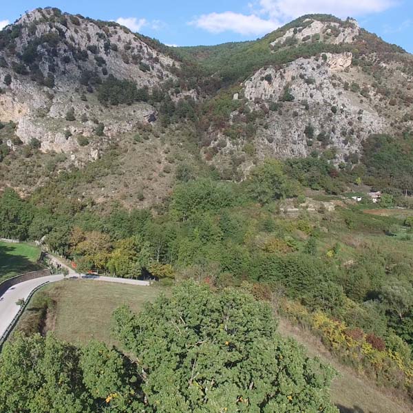
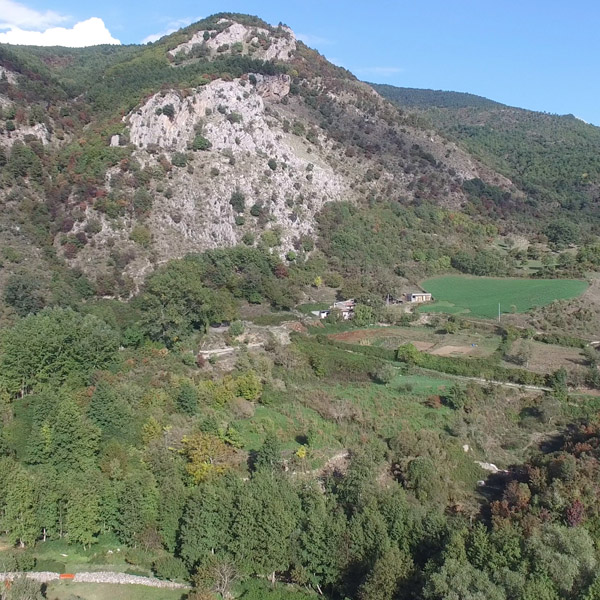
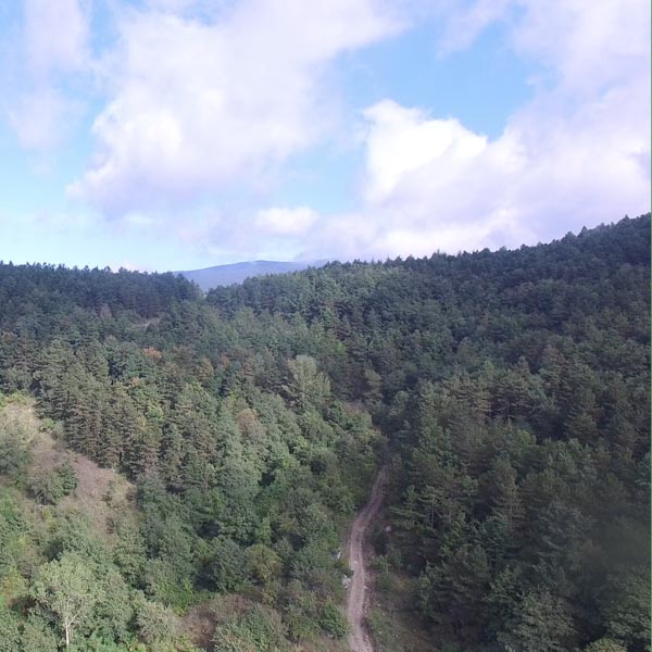
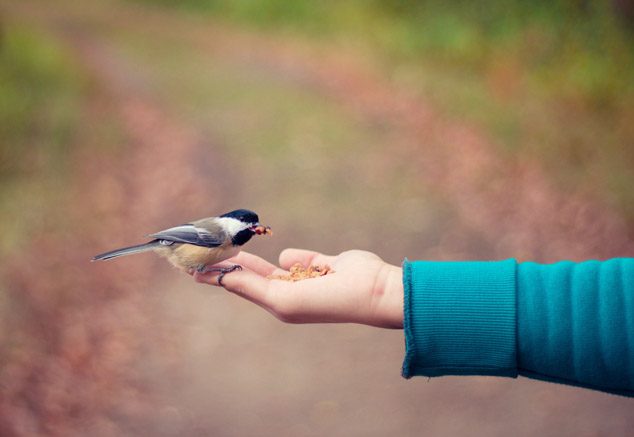
The territory of Viggiano covers 89.03 sq. Km of the western part of the Alta Valle dell'Agri, included in the mountain belt of the Sellata-Volturino-Viggiano and Monti della Maddalena districts. It is characterized by the mountain ranges of the Sacro Monte di Viggiano (1725m asl, where the Madonna Sanctuary is located) and occupies the northern portion of the territory, constituting the part with the highest altitude. Along its slopes are the “Piana Bonocore” and the “Fontana dei Pastori” localities, an area between 1200/1400 (Ciucciusacco, plain Cancelli, Froncella, Pietracicuta) covered with extensive beech forests. From this area, closed to the north by the mountain crown of Monte Pilato, Monte Caldarosa, Monte Macio del Podano and Serra della Prima Croce, you could reach Monte Sant'Enoc (1476 m asl). The mountain crown, expression in several points of an aspiring morphology made of ridges and steep cliffs, extends in the wide and verdant plain, covered by coppice woods and crossed by the river Agri. The area is defined by the river basin of the Alli and Casale torrents, tributaries of the river Agri, that have shaped the riverbeds with suggestive erosions. The woods, which cover about 35% of the total area, consist mainly of various species of Turkey oaks, Quercus cerris L., Quercus delechampii, Quercus lanuginosa) and in the most humid places, poplar, willow and maple. Above 1000 m s.l.m. prevails the beech which is associated, in the most humid and cold places, the silver fir. The various naturalistic areas host also a rich fauna: the rare Apennine wolf, the fox, the hare, the hedgehog, the squirrel, the fallow deer and the wild boar; among the birds, the kite (brown and royal), the buzzard, the kestrel.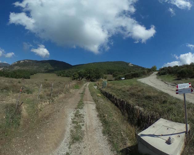

Before starting...
During the excursion...
Recommendation on the environment:...
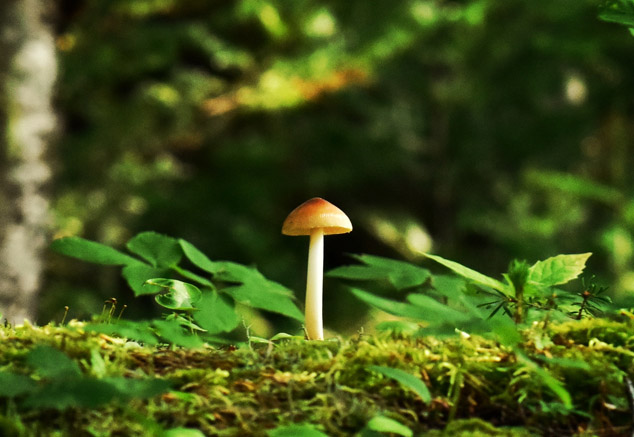
The collection of Mushrooms